Grab those umbrellas. Here’s when Kansas City can expect to see rain move in
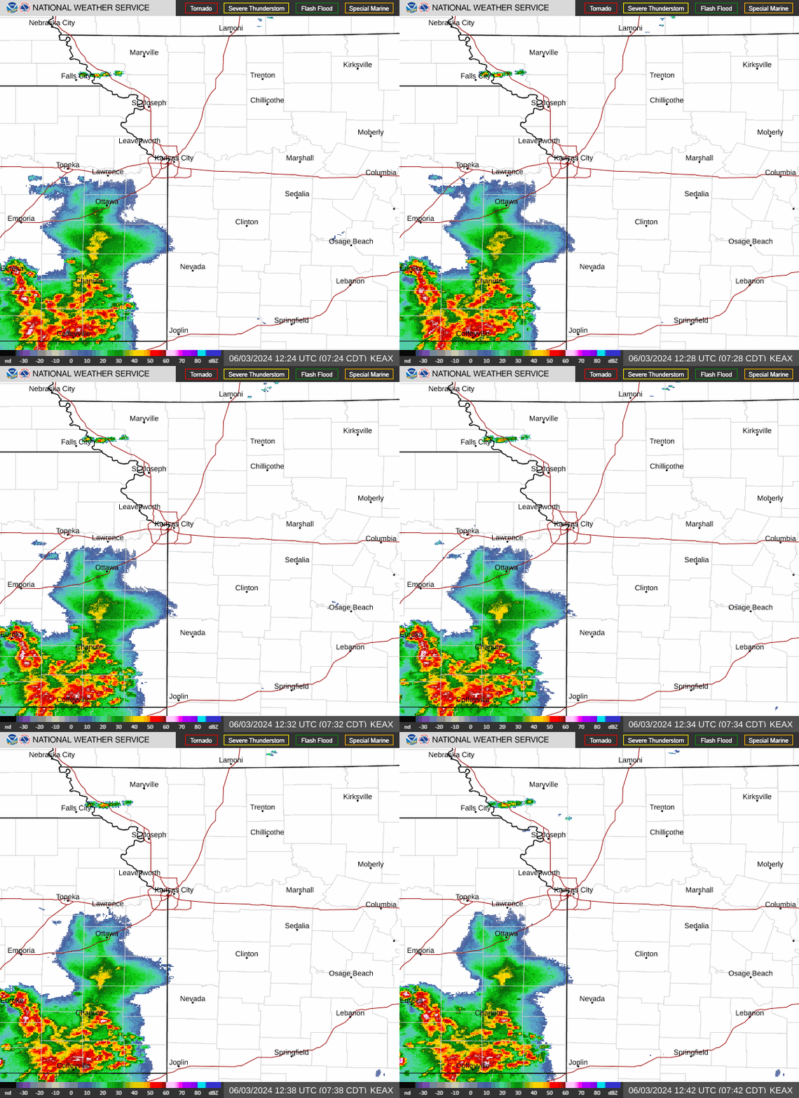
Get those raincoats and umbrellas handy, Kansas City, as rain is expected to move into the metro area Wednesday, according to the National Weather Service in Kansas City.
While the morning is expected to be mostly dry, the rain is expected to move into the KC metro from the south during the afternoon and spread over the region, the weather service said.
Between a half to an inch is expected from the storm in the Kansas City area, but areas to the south and east of Kansas City could see heavier rainfall.
The rain is expected to mix with and change over to snow after midnight across northwest Missouri. Areas north of St. Joseph are more likely to see snow, but snow accumulations are expected to remain light — lest than one inch of snow, according to the weather service.
The Kansas City area could see some snowflakes mixing in with the rain, however no accumulating snow is expected. The precipitation is expected to come to an end Thursday morning.

There is a slight chance that light snow returns Thursday night and early Friday. But if snow falls, only minor accumulations of less than a half of an inch are possible, according to the weather service.
Temperatures are expected to be in the mid-40s on Wednesday and Thursday and the upper 30s on Friday.
The upcoming weekend is looking pleasant — mostly sunny to sunny with temperatures near 50 degrees on Saturday and mid-50s on Sunday.
Weather watches and warnings
A live data feed from the National Weather Service containing official weather warnings, watches, and advisory statements. Tap warning areas for more details. Sources: NOAA, National Weather Service, NOAA GeoPlatform and Esri.

